
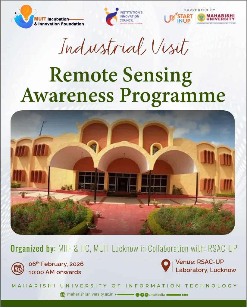
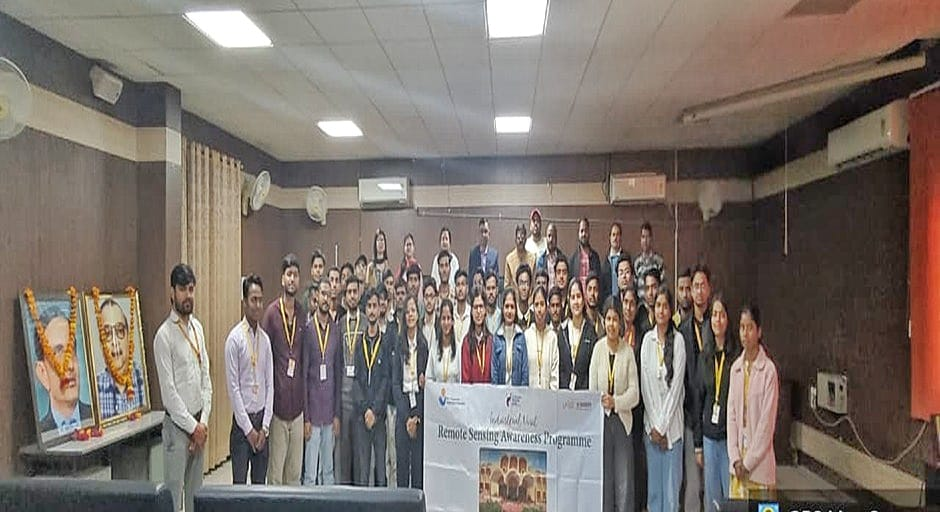
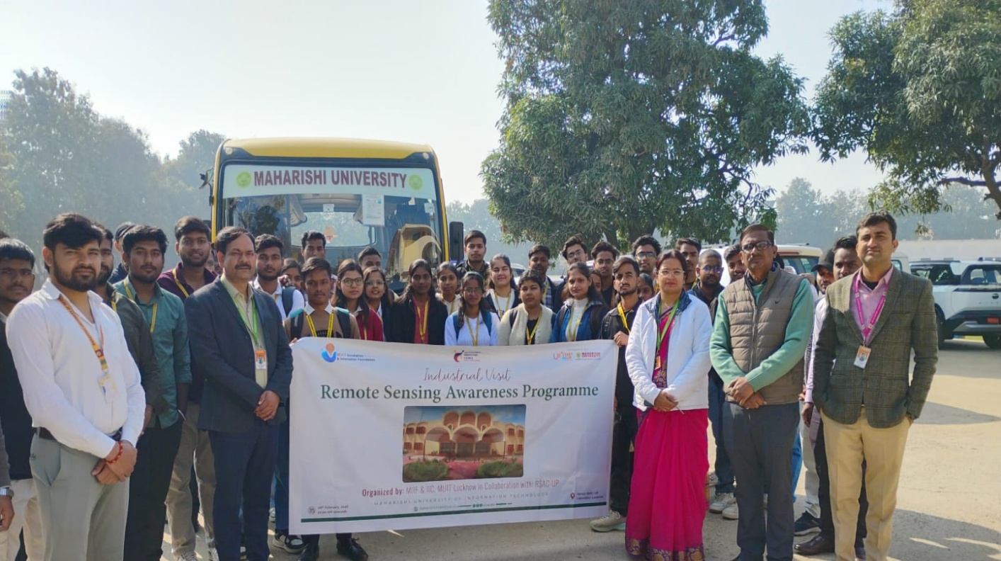
Topic: Industrial Visit toRemote Sensing & Application Center, Lucknow
Date: 6th February, 2026
Venue:RSAC-UP, Laboratory Lucknow
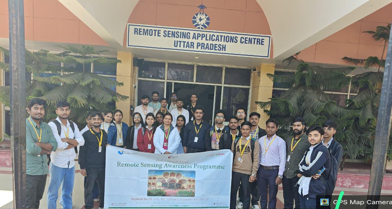
Industrial Visit to Remote Sensing & Application Center, Lucknow
Date of Visit: 6th February, 2026
Organised by: MIIF and IIC along with Maharishi School of Engineering and Technology
Objective: MIIF and IIC along with Maharishi School of Engineering and Technology successfully organized an industrial visit to Remote Sensing & Application Centre on 6th February, 2026. The visit aimed to enhance students' understanding of how advanced technologies are applied in geo-informatics and data analysis.
Participating Students: B. Tech (CSE) 4th semester.
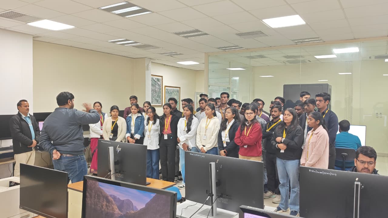
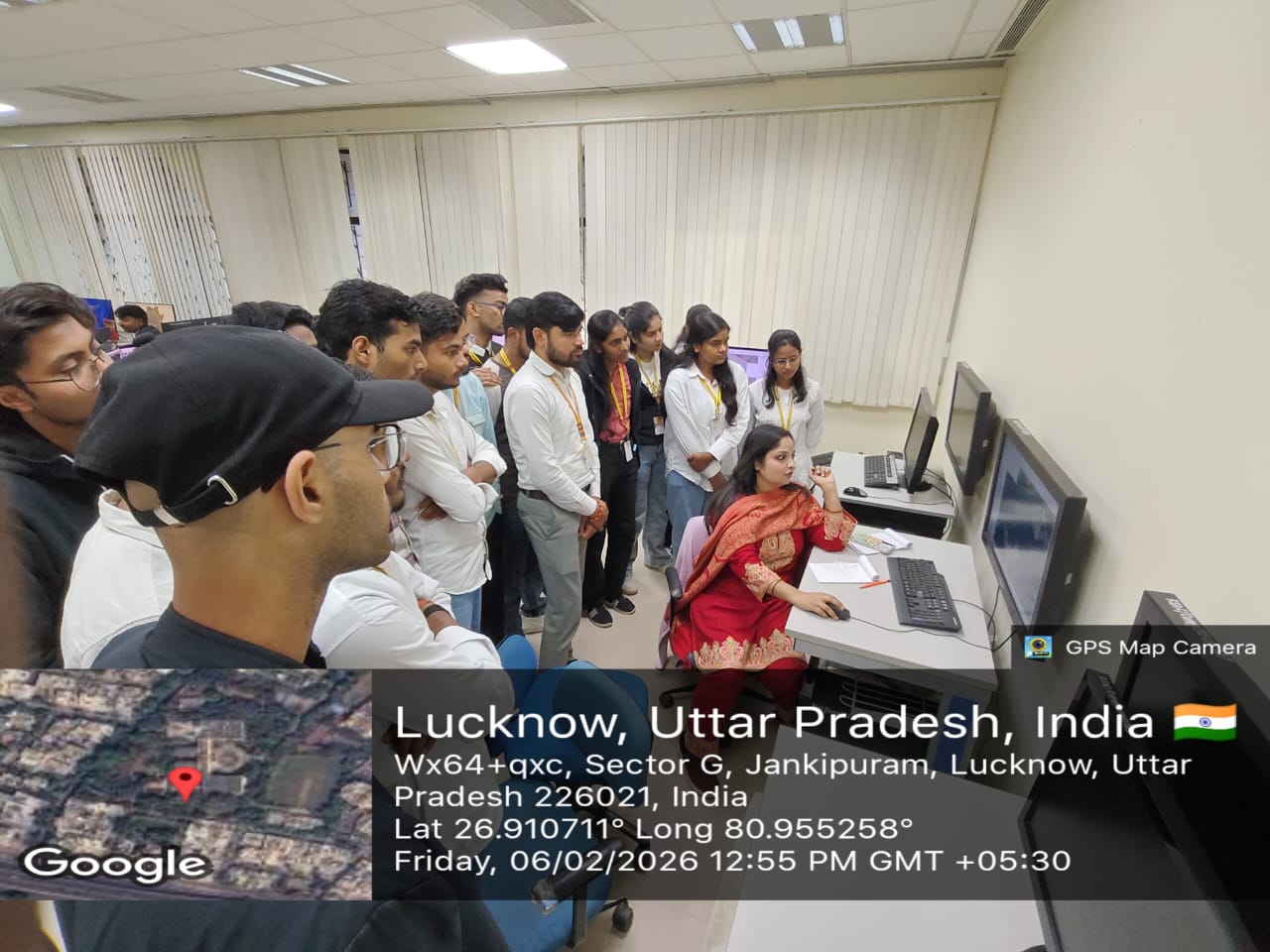
Visit Details: The visit commenced at the Software Research & Development Lab, where students were introduced to advanced software tools and platforms used in developing remote sensing and geospatial applications. Mr. Rajeev Sonkar (Scientist, RAAC-UP) presented an overview of the lab’s key projects and ongoing research initiatives, offering valuable insights into current technological advancements in the domain.
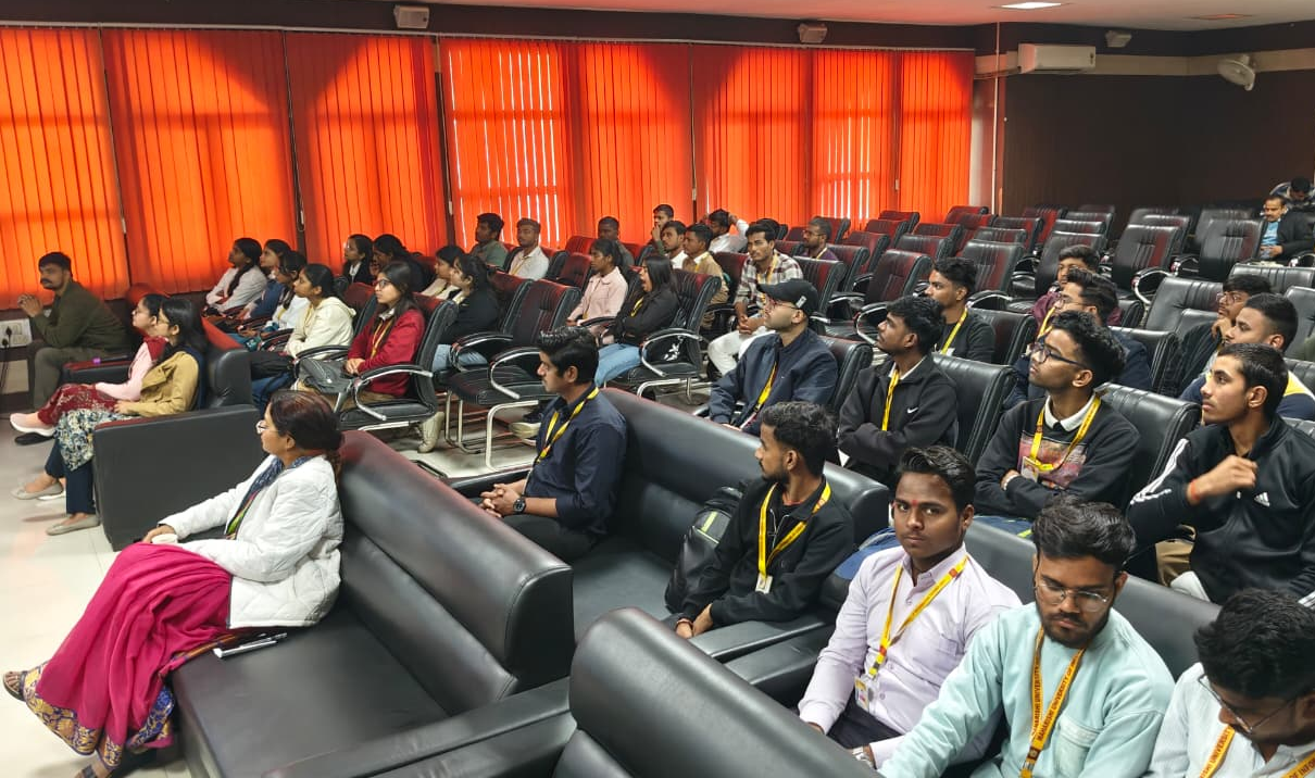
During the expert interaction sessions, Dr. Sudhakar Shukla (Scientist-SE & Head - School of Geoinformatics, RSAC-UP) shared valuable insights into the role of remote sensing and data management in scientific research and development. His session highlighted the practical relevance of geospatial technologies in addressing real-world challenges.
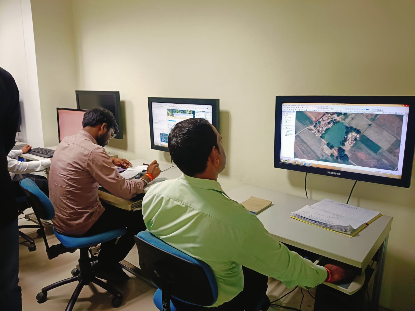
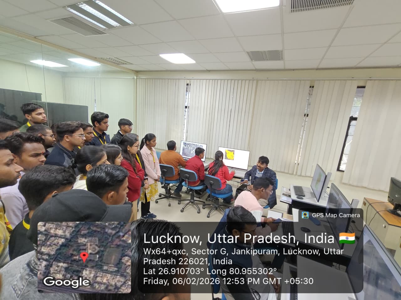
Students also explored the Computer Image Processing & Data Management Lab, where they learned how satellite and aerial images are processed. The focus was on handling large datasets and extracting useful patterns from image data. Mr. Deepanshu Rastogi (Scientist, RAAC-UP) explained how data is stored, retrieved, and analyzed in the Data Centre and Geo-informatics Lab.
The students witnessed first-hand how geo-informatics tools are applied in mapping, disaster management, and environmental monitoring. Mr. Tushar Upadhyay (Project Scientist, RSAC-UP) explained the fundamentals and practical applications of remote sensing across industries.
Dr. Pragarti (Scientist SF and Head of CIP & DM) discussed the integration of artificial intelligence with remote sensing and geo-spatial data, highlighting how AI is transforming data analysis and decision-making.
Coordinator: Mrs. Pooja Shukla, Assistant Professor, MSOET.
Students’ Feedback: Students gained valuable hands-on exposure to Remote Sensing and GIS technologies. The interactive sessions helped them understand real-world applications of satellite imagery, geospatial data analysis, and AI integration. Observing advanced tools in action strengthened their conceptual clarity.
Acknowledgements: Gratitude to Dr. Sudhakar Shukla, university leadership, and MIIF team for their guidance and support. Special thanks to Mr. Puneet Pandey (Manager, MIIF) and Sr. AO (Dr. Rajesh Singh) for ensuring the successful organization of the visit.

-
Phone Number
-
+91 9511115829
-
Email Address
-
office@muitincubation.com
-
Lucknow Campus
-
Sitapur Road, P.O-Maharishi Vidya Mandir, Lucknow-226013 (UP)
-
Noida Campus
-
Sector 110, Noida , PO- Maharishi Nagar, Distt. Gautam Budh Nagar, Uttar Pradesh 201304, India


